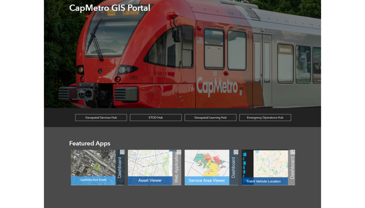
We are proud to highlight an Esri User Case Study featuring the transformative geospatial work led by our founding team during their tenure at CapMetro.
This initiative represents the blueprint for the modern, cloud-based infrastructure we now champion at Spatialty. By migrating legacy systems to ArcGIS Enterprise on Azure and architecting automated data pipelines with FME, the project successfully moved Austin’s transit agency from siloed data to real-time operational intelligence.
Key highlights of the transformation include:
- Infrastructure Modernization: Transitioning to a scalable, cloud-first environment.
- Data Automation: Leveraging FME to ensure reliable, real-time spatial data for teams and riders.
- Strategic Impact: Empowering smarter decision-making through enterprise-wide transparency.
Today, this award-winning approach, recognized with the 2025 Esri SAG Award, is the standard we bring to every client partnership. Explore the full case study to see the depth of experience behind the Spatialty name.
📖 Read the full article here: From Data Chaos to Clarity: How CapMetro Built an Enterprise GIS for Transit