Business System Integration
Spatialty helps organizations break down silos by connecting ArcGIS and FME with the business systems that drive day-to-day operations. Whether you’re integrating with permitting software, asset management systems, or databases across departments, we specialize in creating reliable and maintainable workflows that make data flow automatically.
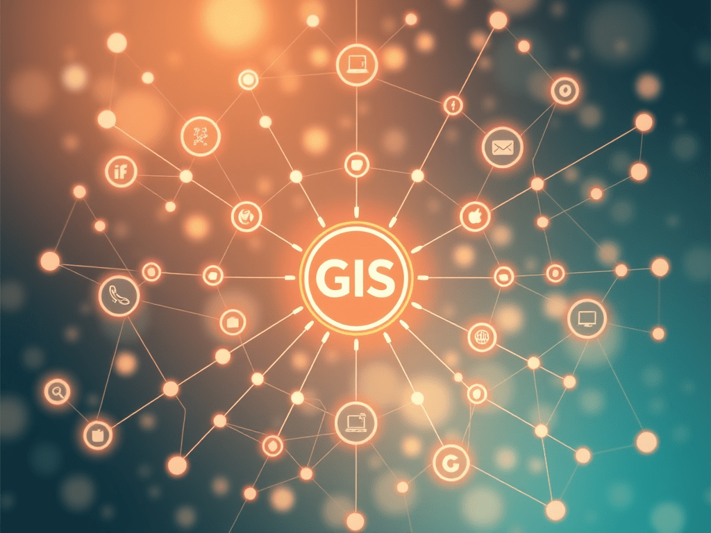
Why Integration Matters
Most organizations rely on multiple systems—finance, permitting, asset tracking, customer service, work orders—and all of them use location. Without integration, GIS often becomes a disconnected tool. We fix that by connecting GIS directly into the business systems your staff already uses.
When systems talk to each other, you reduce duplication, increase accuracy, and get a full picture of operations in real time.
Our Integration Experience
We’ve integrated hundreds of systems and data sources, including:
- Asset management (Infor EAM, Spear)
- Work order and maintenance systems (Infor EAM, ServiceNow, Jira)
- SCADA and Real-Time sensors (GTFS-RT)
- SQL Server, Oracle, Snowflake, PostgreSQL/PostGIS, and other databases
- Transit scheduling and CAD/AVL platforms (Trapeze, OrbCAD, Swiftly, Spare Labs)
- File-based systems (CSV, Excel, Shapefiles, JSON, GeoJSON, XML)
We use tools like FME Flow, ArcGIS Notebooks, ArcGIS GeoEvent, and custom Python scripts to create tailored, fault-tolerant solutions.
What We Offer
- Discovery & Planning
We assess existing systems and design integration points that match your workflows, IT policies, and data governance needs. - ETL Workflows
Build repeatable Extract-Transform-Load (ETL) pipelines using FME, Python, or ModelBuilder to sync systems in real time or on a schedule. - API & Webhook Connections
Connect to external APIs or use event-driven automation to respond to real-world events (like database triggers or webhooks). - Database Replication & Sync
Keep GIS and enterprise databases in sync without manual exports—using schema-aware scripts that prevent data loss. - Real-Time Dashboards & Alerts
Feed data from external systems directly into ArcGIS Dashboards, Experience Builder apps, or email/SMS alerts.
Why Choose Spatialty?
- Deep Technical Expertise
We don’t just connect systems—we understand them. With over 40 years of experience, we’ve worked on both IT and GIS sides of the table. - Built for Reliability
Our automations are designed for uptime and maintainability. We deliver logging, alerts, and error handling by default. - Proven Results
From small utilities to regional transit agencies, our solutions are in production today, supporting real-world operations and decision-making.

Spatialty’s Geospatial Philosophy
Spatialty emphasizes a modern GIS approach centered on automation, accessibility, and education, transforming challenges into opportunities and enhancing organizational decision-making…
Keep reading
Mike Long Wins Esri SAG Award for Geospatial Innovation at CapMetro
Mike Long, Co-Founder of Spatialty, won the 2025 Esri SAG Award for his innovative contributions at Austin’s CapMetro transit agency.…
Keep reading
Esri Case Study: From Data Chaos to Clarity: How CapMetro Built an Enterprise GIS for Transit
CapMetro’s recent feature in an Esri case study highlights their development of a cloud-based geospatial infrastructure. Key efforts include automating…
Keep reading
CapMetro’s Success: Automating Transit with FME and ArcGIS
Safe Software highlighted CapMetro’s Geospatial Program in a success story, showcasing the integration of FME and ArcGIS to enhance transit…
Keep readingSomething went wrong. Please refresh the page and/or try again.
Get Started
Let us help you stop exporting and start integrating. We’ll design the right solution for your team, and support you through every step of implementation.

